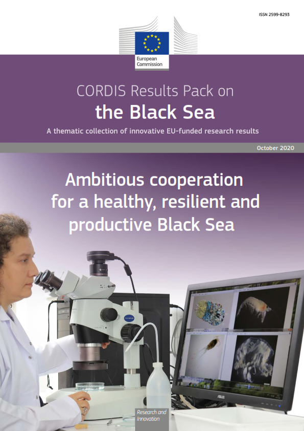
An EU-funded project that built the first hydrological model of the Black Sea region has played a key role in expanding the use of Earth observation data, putting crucial environmental information at the fingertips of scientists and policymakers globally.
- The enviroGRIDS project, which brought together 30 teams from 14 countries, resulted in the first comprehensive environmental analysis of the entire Black Sea area, covering factors such as land use, water quantity and quality, demographics and the impact of climate change.
This Earth observation data – collated, analysed and disseminated via grid computing – is enormously important to the societies and economies of the Black Sea catchment area, a region covering 2.2 million square kilometres and home to more than 180 million people. But the methods and tools developed in the project, as well as the information itself, are no less significant to scientists around the world as they attempt to establish a global overview of our changing environment.
The enviroGRIDS project is one of numerous activities supporting developments in the Global Earth Observation System of Systems (GEOSS), which connects the producers of environmental data and decision-support tools with end users, from policymakers and conservationists to farmers and businesses. Established by the Group on Earth Observations (GEO), a voluntary partnership of 97 countries and international organisations including the European Commission, GEOSS’ aim is to establish a global public infrastructure that generates comprehensive, near-real-time environmental information and analyses to tackle global issues such as pollution, agriculture and climate change.
“In enviroGRIDS, we worked on the implementation of GEOSS principles in the Black Sea region, and directly contributed to both Armenia and Georgia becoming members,” explains Anthony Lehmann, the enviroGRIDS coordinator at the University of Geneva. “We trained numerous researchers on developing GEOSS data sets and models, pushed forward new concepts about data sharing, and made the information accessible through simple web services and tools, allowing users to distribute, analyse and visualise crucial data on the past, present and future states of the region.”
A helping hand for policymaking
This work included exploring different scenarios for the future of the Black Sea catchment area by developing spatial predictions of climate, land use and demographic changes. The predictions, in turn, were incorporated into policy briefs aimed at encouraging policymakers in the region to tackle impending issues, not least the long-running challenge of water pollution from agricultural fertilisers, a problem known as eutrophication. In this regard, the project team has worked closely with organisations such as the Black Sea Commission and the International Commission for the Protection of the Danube River.
“The hope is that this information will encourage cooperation among governments to tackle environmental challenges facing the Black Sea area, but it’s a long-term process and it is often a struggle to bridge the gap between science and policymaking,” Lehmann acknowledges.
Bridging that gap, however, is precisely one of the main goals of GEOSS, not least by making scientific data accessible and readily applicable to real-world issues.
EnviroGRIDS is one of five founding EU projects behind the follow-up IASON project, which has established a permanent network of scientific and non-scientific institutions, stakeholders and private enterprises across the Mediterranean and the Black Sea. It is also one of six projects behind the EOPOWER project, which aims to create conditions for sustainable economic development through the increased use of Earth observation products and services for environmental applications.
“In their two-year timeframe, these projects have incorporated a lot of material, tools and methodologies from enviroGRIDS,” Lehmann explains. “By making this scientific data accessible in new ways, we are generating actionable information that can be used to address real-world problems.”
Download: https://ec.europa.eu/programmes/horizon2020/en/news/shedding-light-black...